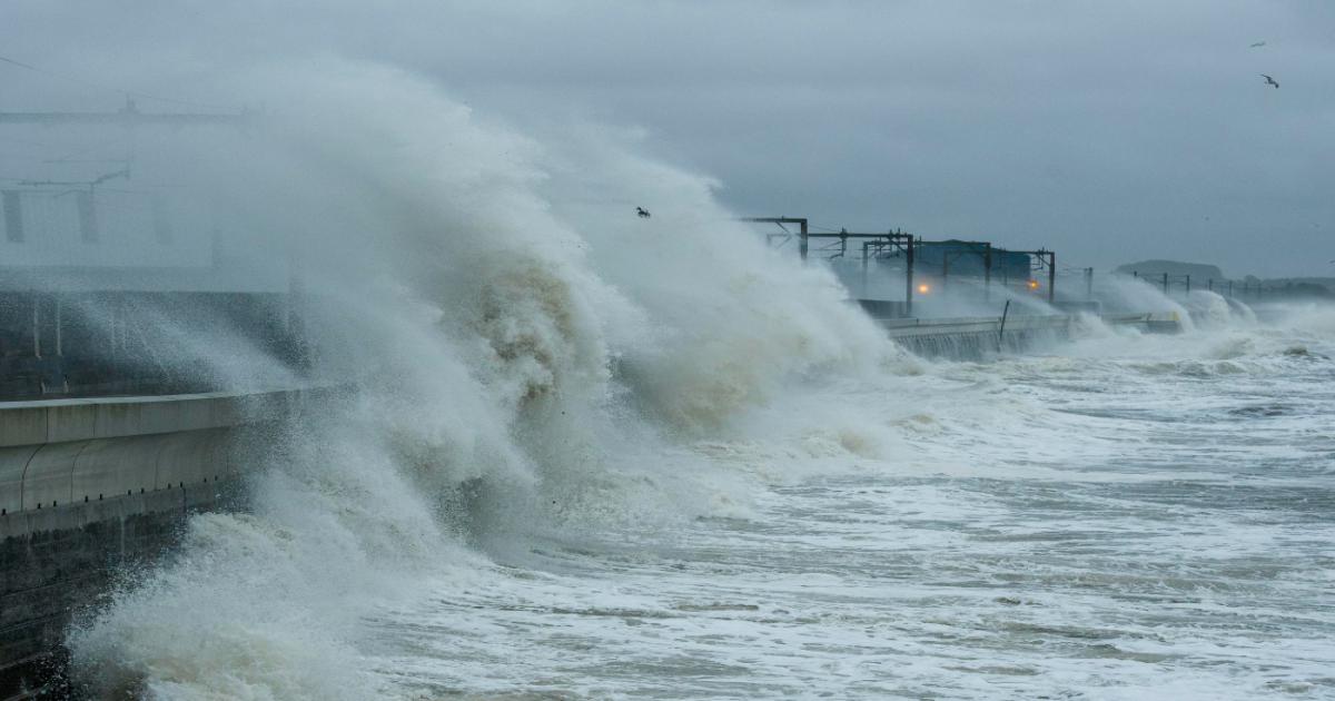
As the onset of winter gradually begins across various states in India, the impact is evident in the consistent drop in minimum temperatures. According to the India Meteorological Department (IMD), the weather in the plains is currently experiencing significant fluctuations. Meanwhile, Cyclone Dana has exacerbated difficulties for residents in West Bengal and Odisha. Here are the latest updates on the storm.
The IMD has issued alerts for West Bengal and Odisha concerning Cyclone Dana. Forecasts indicate that the cyclone will make landfall along the Odisha coast. In preparation for potential damage from the storm, the government has initiated substantial safety measures. A high alert has been in effect from the evening of October 24 through October 25, with warnings of winds reaching speeds of up to 120 km/h. Heavy rainfall was reported in several areas of West Bengal yesterday, while coastal regions faced turbulent waves and rainfall conditions. When the cyclone makes landfall, it is expected that heavy rains and storm surges will peak.
According to the weather department, on October 25, Cyclone Dana is likely to bring extremely heavy rainfall to certain coastal areas of West Bengal and Odisha. In addition, several other cities and regions in these states are also expected to experience significant rain. Additionally, heavy rainfall may be observed in Jharkhand, Bihar, and parts of southern India, including Kerala and Tamil Nadu.
Cyclone Dana is moving north-northwestward at a speed of 10 km/h. As of the morning of October 25, it was located in the north-northwest direction. The landfall process is ongoing, with the rear sector of the cyclone entering land. This process is expected to continue for another 1-2 hours. The cyclone is projected to move west-northwestward, gradually weakening into a cyclonic storm by the morning of October 25.
Read More... Cyclone Dana Update: Odisha and Bengal on High Alert, Flights and Trains Cancelled
Furthermore, an upper-air cyclonic circulation persists over the southeastern Arabian Sea and the adjoining Lakshadweep area, extending up to 4.5 km above mean sea level.